

Le Pey de la Blet
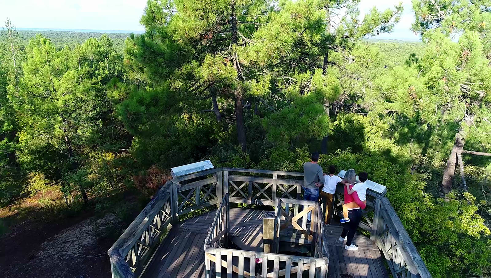
During this nice walk, you will discover le Pey de la Blet. This peak on the edge of the forest dates back prior to the trees being planted. The origin of its name comes from the shepherd called ‘Blet’ who grazed his flock in the area and would have used the high ground of this ‘pey’ to get a good view to watch over them. It was during the 1990s that the wooden stairway was first installed and then renovated in 2023 which enable people to climb the 184 steps above the canopy of pine trees and get a 37m panoramic view over the surrounding landscape.
- Starting point: "Feu de Fromentine"
- Length: 6.5 km
- Duration: 1:30
- Signage: Wooden signs with lighthouse
- Level: Average
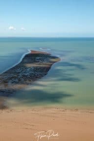
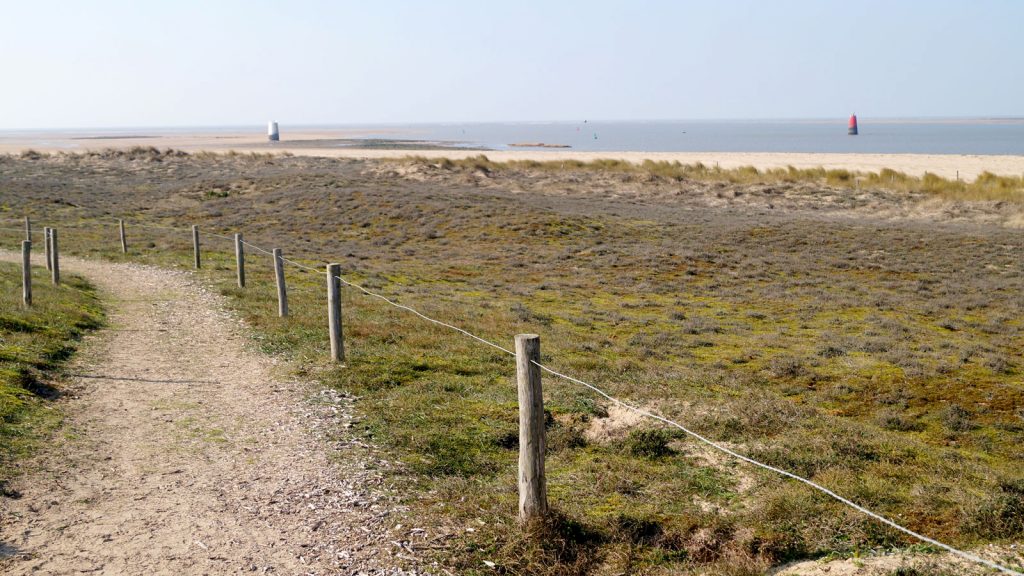
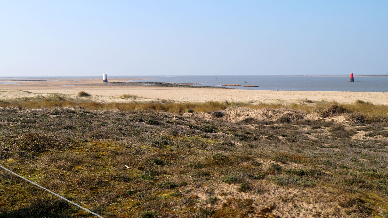
Ideally – do this walk at low tide to enable view of Les Quatre As
- From the lighthouse, walk towards the beach following the road. Once you are facing the sea, you will be able to see the wrecks of the Quatre As (at low tide). Take the coastal path on the left of the yacht club. After 450m, at the fork, take the right turn to continue along the path which goes under Noirmoutier bridge. At the junction after the bridge, turn left and continue 400m to the camper van parking area.
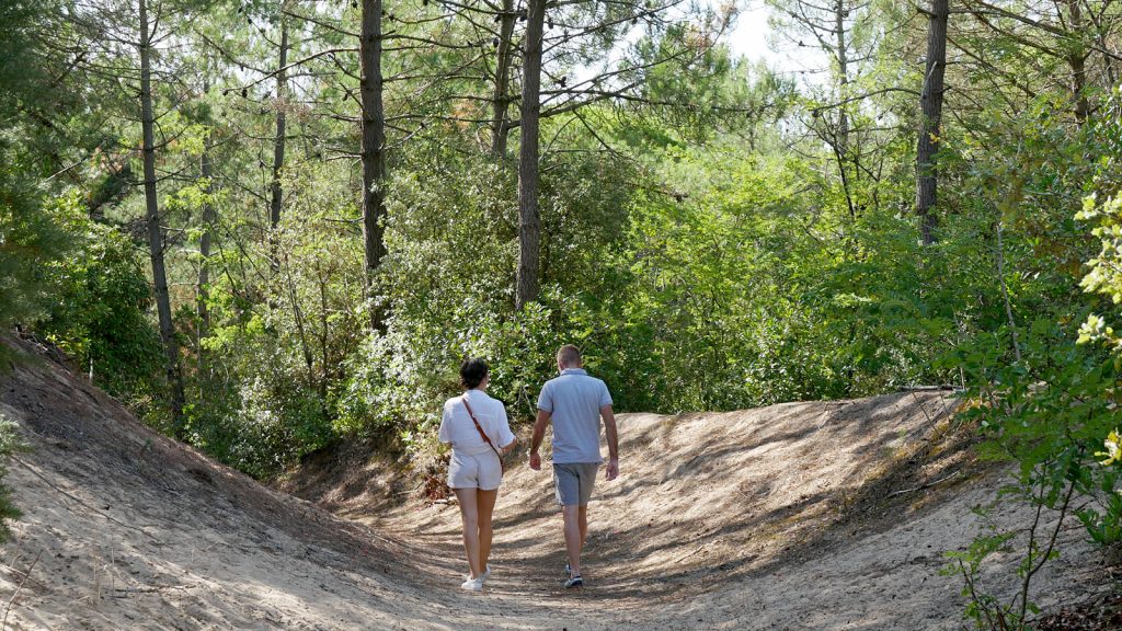
- Cross the parking area and the roundabout to pick up the path which heads into the forest just opposite. Continue straight on this path for 400m.
- Just before the bend to the left (you will spot the road), take a gentle turn to the right so that you leave the path at the parking area for Plage de la Bergere. Pick up the path opposite on the other side of the road and continue straight on.
- A few meters after the pond (on your left) turn left. A bit further on you will see that the path follows the fence for the Colonie de Vacances. Cross the road, go under the electricity cables and continue straight on for around 600m. At the end of the road, turn left on to the stony path.
- Cross the cycle path then take a right turn onto the little path that runs alongside the campsite. At the end, pick up the cycle path for 150m before turning right onto the forest pathway. After 200m turn left and follow the signs to Pey de la Blet.
- When you reach the top, climb the few steps of the viewing platform to experience a panoramic view over the forest, the ocean and the marshes. Walk down the long wooden stairway and at the bottom you can pick up the route again. Take the path to the left between the parking area and the cycle path for around 30m.
- Turn onto the forest path again on your left. Follow the signs until you leave the forest turning right to go under the Noirmoutier road. Then turn back into the forest on the right which will take you to rue des Parées.
- Continue along rue des Parées up to the roundabout. At the roundabout, take the road on the left – route de la Grande Côte – for a few metres.
- Pick up the forest path on the right and carry straight on following the edge of the forest which will bring you back to your starting point.
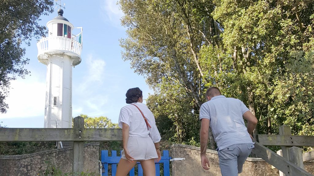
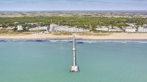
Le Feu de Fromentine
This 10.05m high beacon was installed in Fromentine in 1915. It is unique as it is made from metal and because it is less than 20m high it cannot be officially classed as a ‘lighthouse’ but was used as a guide for boats. Until 1939, the beacon was oil fired. The Feu de Fromentine was classed as a Historical monument in 2012
Les Quatre As
Visible from the promenade, but only at low tide, these are the wrecks of 2 of the 4 German mine sweepers which were attacked by allied aircraft on 8 Aug 1944.
Enjoy your walk! 🚶
Anaïs
This walk is available for sale at 1€ in our Tourist Offices. You can also download it for free writing your email address.